History
History of the Kratie region
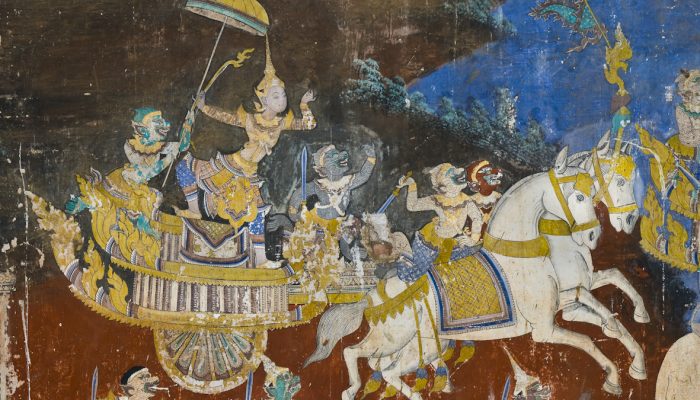
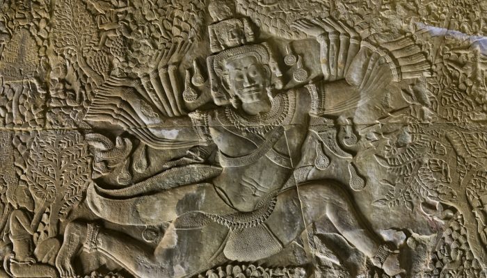
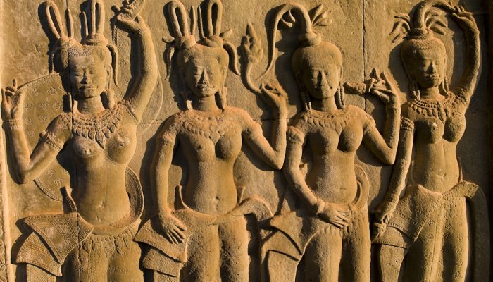
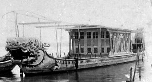
The area now known as Kratié was part of the early first millennium Kingdom of Funan until Funan itself was superseded and absorbed in the 6th century by Chenla. Sampheak Borak, the former Royal Capital during the Chenla Era, is located in Sambo District.
In addition, Kratié has Vihear Sasar Muayroy Pagoda built in the 16th century. This pagoda is related to a Khmer legend Krapeur Nen Thun (Venerable Monk Thun, the Crocodile).
Kratié has several temples built in the 8th century such as Khvas Pi, Pram, and Koh Kring that has perfect deities, ancient halls, Khmer ancient houses, and French-style buildings. The area near Kratié along the Mekong River was one of the most densely populated regions of the pre-Angkorian era of Cambodia.
Lon Nol was the province’s governor in 1945.
During the Vietnam and Cambodian Civil Wars and the subsequent Vietnamese invasion of Cambodia, intense fighting took place in Kratié.
Operation Menu, the 1969-1970 United States bombing campaign targeting Vietnamese supply routes and bases in Cambodia and Laos, resulted in heavy bombardment of Kratié. Recovering unexploded ordnance and de-mining has been a major initiative since at least the mid-2000s.
On December 30, 1978, Vietnamese forces captured Kratié.
Geography
The Mekong River flows from the north to the south of the province; approximately 140 km of the river is located in Kratié. The river is home to Irrawaddy dolphins, fish, and birds. The flow of the Mekong River at Kratié town varies greatly. There are hundreds of seasonally flooded islands in the river. As of 2007, the Cambodian government planned to build a dam on the Mekong River near Kratié town. The province also contains many forests, the Phnom Pram Poan mountain range, Phnom Prech, and rubber plantations. Eastern Kratié is an important bird area.
The province is mostly covered in dense forest. Craters from Operation Menu bombings during the Vietnam War, some of which are filled with water, are still visible in the countryside.
Reproduced from Wikipedia.